
General map of the Kingdom of Hungary, 1804-1810
 You are cordially invited to the opening ceremony of the exhibition entitled “General map of the Kingdom of Hungary, 1804-1810”, organized by National Széchényi Library and the National Archives of Hungary. Accompanied by a conference, the event will start at 10 a.m. on Monday April 11, 2016.
Venue: Ceremonial Hall of NSZL (Floor 6, conference) and Map Collection (exhibition)
Date: Monday April 11, 2016
PROGRAM
10:00 Welcome speech by Dr. László Tüske (Director-General of NSZL)
10:05 Welcome speech by Dr. Zsuzsanna Mikó (Directress-General of the National Archives of Hungary)
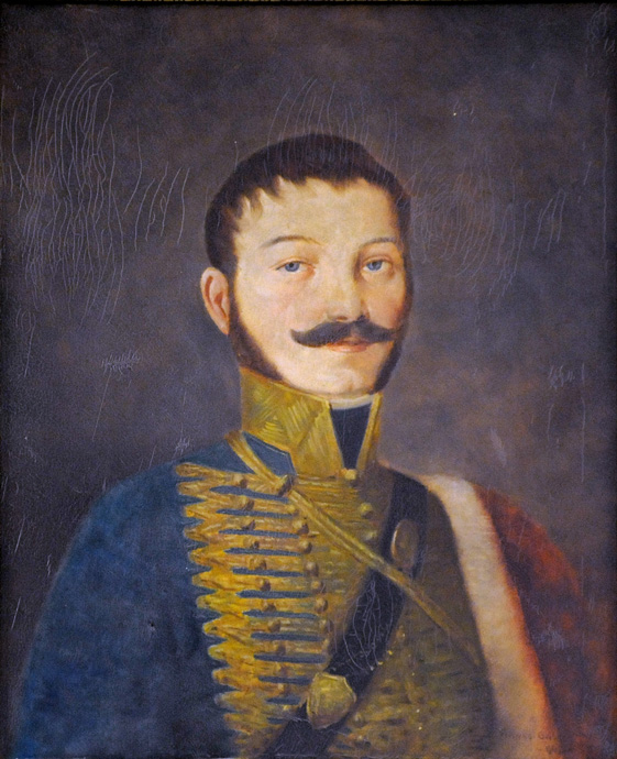
10:10–10:25 Csaba Reisz T. (National Archives of Hungary): Latest results of research into the Lipszky oeuvre
10:25–10:40 György Danku (National Széchényi Library): Luigi Ferdinando Marsigli. A turn in the representation of Hungary on maps
10:40–10:55 Annamária Jankó (Institute and Museum of Military History): Military survey and civil cartography in the 18th century
10:55–11:10 György Kurucz (Károli Gáspár University of the Reformed Church in Hungary): György Festetics and map publishing in Hungary
11:10–11:25 László Pászti (National Széchényi Library): Cadastre of Lipszky maps. Re-editions, copies and adaptations
11:25–11:40 Enikő Török (National Archives of Hungary): Country maps used by land tax settling committees (1850–1855)
11:40–11:55 Gábor Timár (Department of Geophysics and Space Science, Institute of Geography and Earth Sciences, Faculty of Science of Eötvös Loránd University:) Lessons learned from the georeferring of the Lipszky map
12:00 Exhibition opened by Prof. Dr. István Klinghammer
12:30 Celebratory toast
The event on the map historical blog of National Széchényi Library
Two related maps on the pages of Hungaricana:
DATA OF PUBLIC INTEREST | PRIVACY POLICY | © NSZL 2015–2026

| MENU |

|